Physical Geography
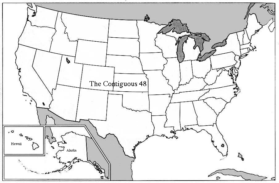
In terms of geography, the US consists of three "blocks"and 50 states. The three geographically distinct blocks are Alaska, at the northwest end of the continent, Hawaii, the island chain in the tropical Pacific, and the so-called "Contiguous Forty-eight", the remaining states, which together make up the familiar more or less rectangular shape between Canada to the north and Mexico to the south (map).
Perhaps the most striking feature, geographically speaking, of the US is its sheer size. The country's surface area is 9.2 million sq km, with Alaska alone occupying some 1.6 million sq km. It is more than 4500km from San Diego, in southern California, to Boston, Massachusetts, and almost 5500km from Seattle, in northwestern Washington, to Miami, at the southermost tip of Florida. Another measure of its size is the fact that there are four time zones between New York and California, and two more to cover Alaska and Hawaii. A map showing the current time in the various time zones can be found here.
Geological structure
The part of the continent occupied by the contiguous forty-eight is anything but uniform. The eastern two-thirds, from the Atlantic to the foothills of the Rockies is on average much lower in altitude than the western third, with vast plains in the interior and the mountains rounded by eons of erosion that are characteristic of geologically old regions (map) (map with labels).Going from east to west, the main geological features that characterize the contiguous forty-eight are:
On this east-to-west geology can be superimposed, as it were, a number of regions, which combine geological and economic and historical features. The main ones are New England, the"Atlantic Megalopolis", the "Heartland", the South (including the Deep South), the Middle West and Great Plains, the Mountain & Desert States, and the Pacific Coast.